The Lost Subways of North America Book
A visual exploration of the transit histories of twenty-three US and Canadian cities.
Every driver in North America shares one miserable, soul-sucking universal experience—being stuck in traffic. But things weren’t always like this. Why is it that the mass transit systems of most cities in the United States and Canada are now utterly inadequate?
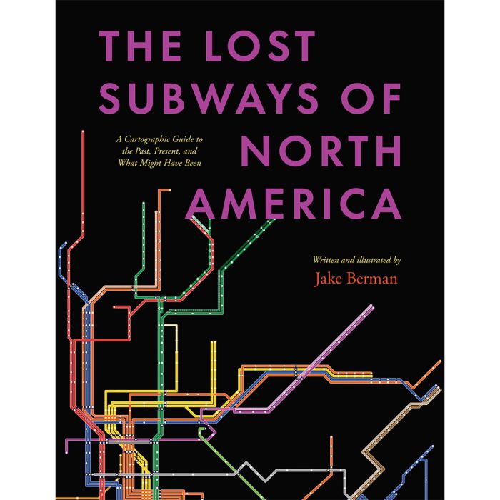
The Lost Subways of North America offers a new way to consider this eternal question, with a strikingly visual—and fun—journey through past, present, and unbuilt urban transit. Using meticulous archival research, cartographer and artist Jake Berman has successfully plotted maps of old train networks covering twenty-three North American metropolises, ranging from New York City’s Civil War–era plan for a steam-powered subway under Fifth Avenue to the ultramodern automated Vancouver SkyTrain and the thousand-mile electric railway system of pre–World War II Los Angeles. He takes us through colorful maps of old, often forgotten streetcar lines, lost ideas for never-built transit, and modern rail systems—drawing us into the captivating transit histories of US and Canadian cities.
Berman combines vintage styling with modern printing technology to create a sweeping visual history of North American public transit and urban development. With more than one hundred original maps, accompanied by essays on each city’s urban development, this book presents a fascinating look at North American rapid transit systems.
272 pages | 107 color plates | 8 1/2 x 11 | © 2023
In stock
Description / The Lost Subways of North America Book
A visual exploration of the transit histories of twenty-three US and Canadian cities.
Every driver in North America shares one miserable, soul-sucking universal experience—being stuck in traffic. But things weren’t always like this. Why is it that the mass transit systems of most cities in the United States and Canada are now utterly inadequate?
The Lost Subways of North America offers a new way to consider this eternal question, with a strikingly visual—and fun—journey through past, present, and unbuilt urban transit. Using meticulous archival research, cartographer and artist Jake Berman has successfully plotted maps of old train networks covering twenty-three North American metropolises, ranging from New York City’s Civil War–era plan for a steam-powered subway under Fifth Avenue to the ultramodern automated Vancouver SkyTrain and the thousand-mile electric railway system of pre–World War II Los Angeles. He takes us through colorful maps of old, often forgotten streetcar lines, lost ideas for never-built transit, and modern rail systems—drawing us into the captivating transit histories of US and Canadian cities.
Berman combines vintage styling with modern printing technology to create a sweeping visual history of North American public transit and urban development. With more than one hundred original maps, accompanied by essays on each city’s urban development, this book presents a fascinating look at North American rapid transit systems.
272 pages | 107 color plates | 8 1/2 x 11 | © 2023